


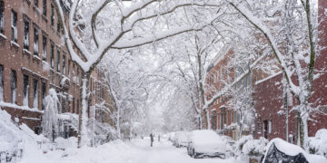
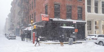


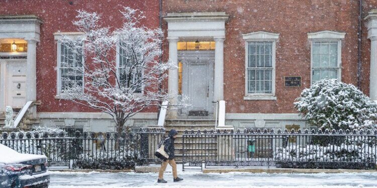
A winter storm that moved through the New York City region today left the city and its suburbs coated in snow, marking one of the earliest significant snow events of the season. The storm brought a range of accumulations across the metropolitan area, with the heaviest amounts mainly outside the core of Manhattan and into surrounding counties.
In New York City the snowfall varied by borough, but most areas saw between two and six inches of snow as of mid-afternoon Sunday. Staten Island reported some of the highest measured totals within the city, with reports of approximately 6.1 inches, while parts of northern Queens recorded around 2.4 inches.
The National Weather Service had forecast earlier that two to four inches of snow were likely for the five boroughs, with localized amounts up to six inches possible in outlying neighborhoods and southeastern Queens.
Outside the city limits, snowfall was even more substantial. Western Suffolk County and parts of eastern Long Island saw up to eight and a half inches of accumulation, making those areas some of the snowiest in the immediate region. Similar totals were also reported in parts of New Jersey and Connecticut, where observers documented more than half a foot in select locations.
The snow fell steadily throughout the morning and into the early afternoon, turning streets white and creating widespread slippery conditions on roads and sidewalks. Transit agencies and public works crews were out in force, treating key roadways and clearing major thoroughfares to keep travel moving. Despite the snowfall, most main roads remained passable by midday as crews worked to plow and salt affected areas.
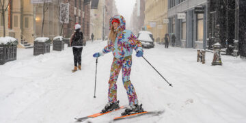
For many New Yorkers the snowstorm offered a classic winter scene. Children played in the fresh powder, dogs bounded enthusiastically through the white blanket, and residents wrapped up warmly to enjoy a moment of seasonal beauty in parks and sidewalks.
The storm also brought delays for holiday travel. Airports in the region, including LaGuardia, JFK and Newark, reported significant flight delays and cancellations as crews worked to manage snow and ice on runways.
By late afternoon the snowfall began tapering off, leaving behind a city transformed for the day. Weather officials caution that slick spots will remain through the evening commute, especially on untreated surfaces, and urge residents to allow extra time and exercise caution when traveling. Future forecasts suggest that colder air will remain in place over the coming days, keeping temperatures below normal even after skies clear.