


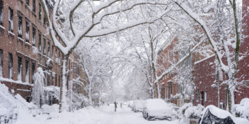
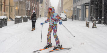


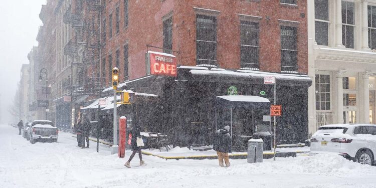
Forecasters issued a rare blizzard warning for New York City on Saturday, the first such alert to hit the five boroughs in eight years, as a powerful nor’easter prepares to bury the region under more than a foot of snow.
The National Weather Service (NWS) upgraded its winter storm warning to a blizzard warning early Saturday morning, citing the potential for sustained winds of 35 mph and gusts reaching 55 mph. The warning is in effect from 6 a.m. Sunday, Feb. 22, through 6 p.m. Monday, Feb. 23.
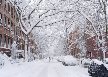
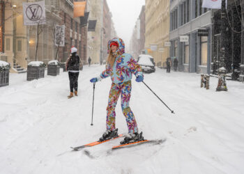
Meteorologists expect the storm to dump between 13 and 18 inches of snow across the city, with some neighborhoods potentially seeing up to 20 inches if the storm’s “worst-case scenario” track holds. High snowfall rates of 1 to 2 inches per hour are predicted to coincide with peak winds Sunday night, creating dangerous whiteout conditions and near-zero visibility.
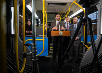
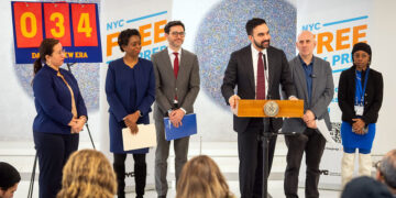
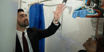
“This is a serious and potentially life-threatening storm,” Mayor Zohran Mamdani said during a weather briefing at a Manhattan salt shed. “We are asking all New Yorkers to stay inside and stay off the roads. The combination of heavy snow and high winds will make travel dangerous, if not impossible, by Sunday evening.”
Citywide Mobilization
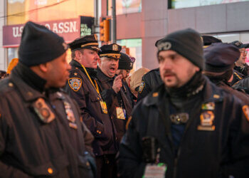
City agencies have moved to an emergency footing, mobilizing the Department of Sanitation’s fleet of 2,500 plows and salt spreaders. According to prepared remarks from the Mayor’s Office, the city is implementing the following measures:
- Code Blue: Emergency “Code Blue” operations began at 4 p.m. Saturday. Outreach teams are working 24/7 to move homeless individuals into shelters.
- Warming Centers: The city has opened 18 warming buses, 11 Health + Hospitals warming spaces, and 13 school-based warming centers across the five boroughs.
- Public Transit: The MTA plans to run regular Sunday service but will remove articulated buses from the streets and install chains on others. Commuters are warned to expect significant delays or service suspensions on Monday morning.
- Schools: A final decision regarding public school closures for Monday is expected by noon on Sunday.
A Rare Event
The blizzard warning marks a significant milestone for a city that has seen relatively mild winters in recent years. This is the first blizzard warning issued for New York City in the past eight years, with the last such occurrence dating back to the major nor’easter of early 2017.
Unlike standard winter storm warnings, a blizzard warning requires the combination of heavy snow or blowing snow, winds of at least 35 mph, and visibility reduced to less than a quarter-mile for at least three consecutive hours.
“We haven’t seen conditions like this in a long time,” said NWS meteorologist Robert Pozarycki. “The refreezing of melted snow on Monday will also create a ‘flash freeze’ effect, making sidewalks and side streets treacherous long after the flakes stop falling.”
City officials have urged residents to sign up for NotifyNYC alerts and to check on elderly neighbors as temperatures are expected to plummet into the low 20s overnight.