


January has been weeks of bone-chilling temperatures and biting winds that have kept the city shivering since New Year’s Day, the National Weather Service has issued a winter storm watch for the New York City metropolitan area. Meteorologists are tracking a rapidly intensifying coastal low expected to develop into a potent Nor’easter, bringing heavy snow and strong winds starting Sunday afternoon.
Forecasters currently predict snow will begin falling late Sunday and intensify overnight into the morning commute on Monday. Unlike the slushy mixes of years past, the deep freeze currently gripping the region means the ground is primed for immediate accumulation.
The Forecast
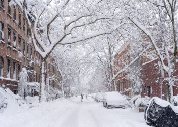
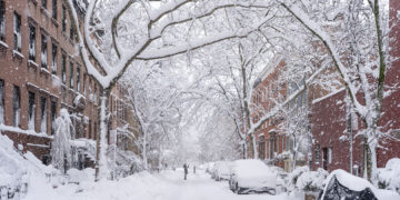
Current computer models indicate a high probability of significant snowfall. The National Weather Service is predicting 8 to 12 inches for Central Park, with higher amounts likely in the northern suburbs of Westchester and Connecticut.
Because the city has been locked in a cold pattern, there will be no “transition phase” from rain to snow. Sunday is expected to see a high of only 24 degrees, ensuring the precipitation starts as snow from the first flake. As the heart of the storm moves over the coast Sunday night, temperatures will stay cold enough to produce a dry, powdery snow that piles up efficiently.
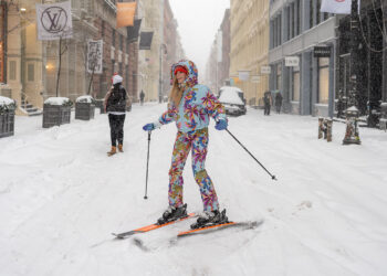
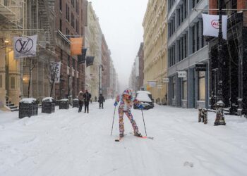
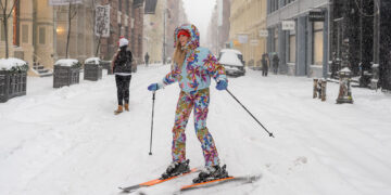
The wind will make the cold feel even more dangerous. Gusts could reach 30 miles per hour, particularly along the coastlines of Brooklyn and Queens. With the air temperature already well below freezing, wind chills on Monday morning could drop into the single digits, making the commute not just difficult, but physically painful for those waiting on train platforms.
A Historic Context
If the forecast holds, this storm would mark the first “blockbuster” snow event in years. The city has not seen a single storm deliver more than ten inches of snow since February of 2021, which dropped over 17 inches on Central Park.
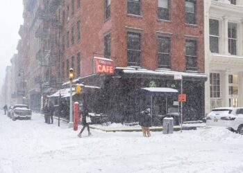
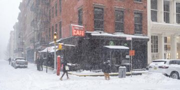
However, the context this year is different. In previous years, snow often landed on warm ground and melted on contact. This year, with the pavement already frozen solid by weeks of sub-freezing days, the Department of Sanitation warns that slick conditions will develop almost instantly Sunday evening.
City Preparations
The Department of Sanitation is mobilizing a massive response. DSNY Commissioner Jessica Tisch announced on Thursday that the department has canceled days off for sanitation workers and is preparing its fleet of 700 salt spreaders and 2,000 collection trucks turned plows.
“The ground is frozen, which means the snow will stick immediately,” Commissioner Tisch warned. “We are pre-treating highways with brine, but we need New Yorkers to stay off the roads so our plows can clear the blacktop.”
Mayor Mamdani, facing the first weather crisis of his administration, urged residents to take the cold seriously. “We have been living in the freezer for weeks, but this is different,” he said at a briefing on Thursday. “This is a dangerous combination of wind, snow, and extreme cold. Please check on your neighbors, especially the elderly, to ensure they have heat.”
The decision on school closures for Monday will likely be made on Sunday afternoon. Given the severity of the forecast and the dangerously low temperatures expected for the morning bus pickup, the chances of a traditional “snow day” are higher than they have been in years.